The Utah AAM Toolkit

A centralized resource for communities, airports, policymakers, and industry partners planning for the future of Advanced Air Mobility in Utah and the Mountain West

Quick Links
Implementation Roadmap
Featured Resources
Ordinance Framework
Note: The information on this website is only intended to be general summary information for public use. It does not replace written law or regulations, and it does not constitute individualized legal or planning advice. Readers should consult their own qualified advisors regarding specific questions or concerns.

Choose your Path

Find the resources, tools, and guidance tailored to your role in Advanced Air Mobility

Choose one of the eight pathways below to explore resources, tools, and guidance tailored to a specific AAM topic area. Whether you're interested in planning, infrastructure, governance, community engagement, operations, or policy, each pathway provides targeted materials to help you better understand and prepare for Advanced Air Mobility.
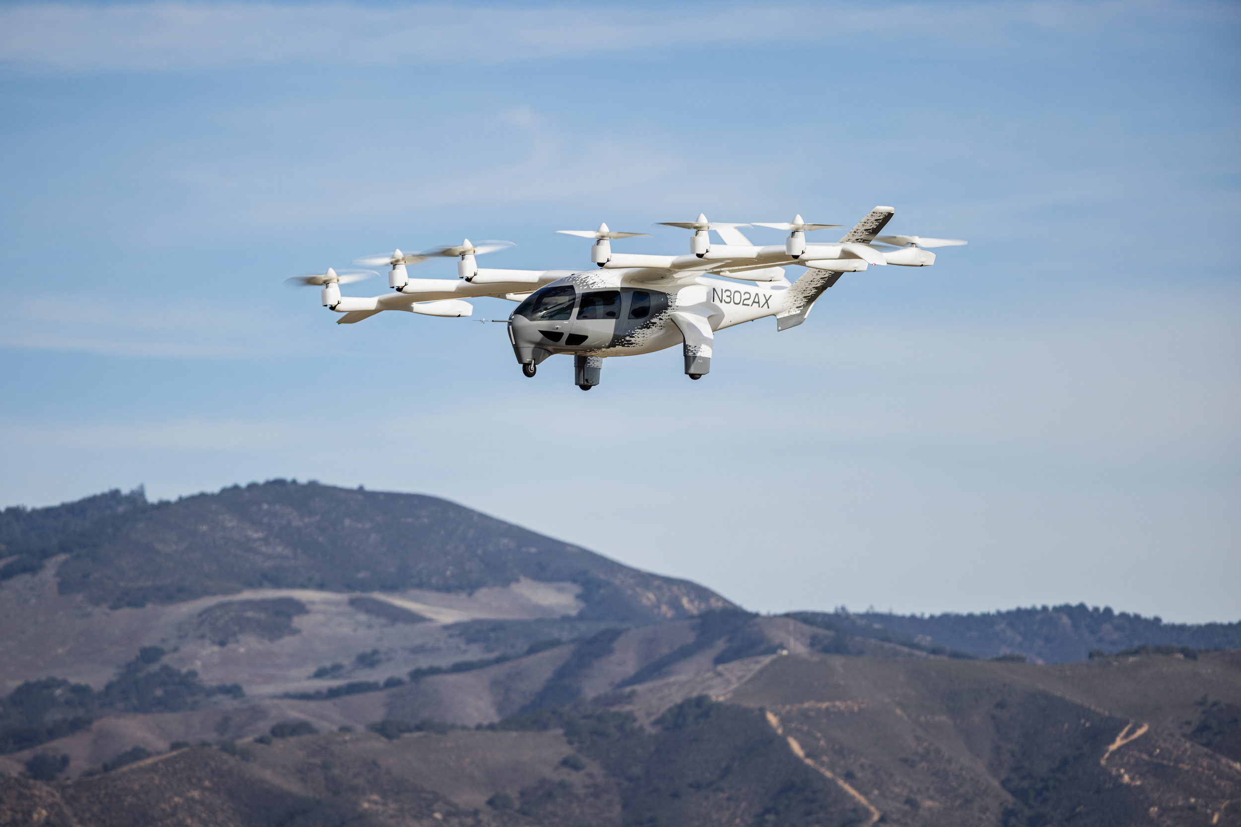
A Joby electric air taxi flying through a clear blue sky above a mountain range.

I need to Understand AAM


AAM 101 material, aircraft types, use cases, infrastructure basics, roles and responsibilities, and how the aviation system fits together.

Learn more
A large, light-colored sandstone mountain dominates the frame under a dramatic blue sky with wispy clouds. The mountain's face is a mix of off-white and light tan, marked by horizontal striations and dotted with small green trees and shrubs. The base of the mountain is a darker reddish-orange, suggesting a different rock layer or soil. To the left, another, darker mountain peak is partially visible. The overall impression is one of grandeur and rugged natural beauty.

Should Our Community Be Paying Attention?

Planning and policy context, needs-first planning, Utah policy context, transportation/accessibility, infrastructure/place, economic readiness, governance, and compatibility/integration.

Learn more
The Salt Lake City Wasatch Mountains Skyline with a cityscape at the bottom.

What Should My Community Consider?

Noise and environmental considerations, public safety and emergency preparedness, land use and zoning best practices, governance, and community compatibility resources.

Learn more
A photo of BETA Technologies' production facility floor.

We Want to Attract Service, Operators, or Investment

Economic development and readiness, infrastructure readiness, airport/activity center concepts, workforce, market fit, governance, and public value framing.

Learn more
An experimental electric aircraft, made by Beta Technologies, flying with the Utah red rocks, covered in snow, in the background.

We Have Existing Aviation Infrastructure

Existing assets, airport modernization, infrastructure, utility readiness, compatibility, connected activity centers, roles, and implementation considerations.
Learn more
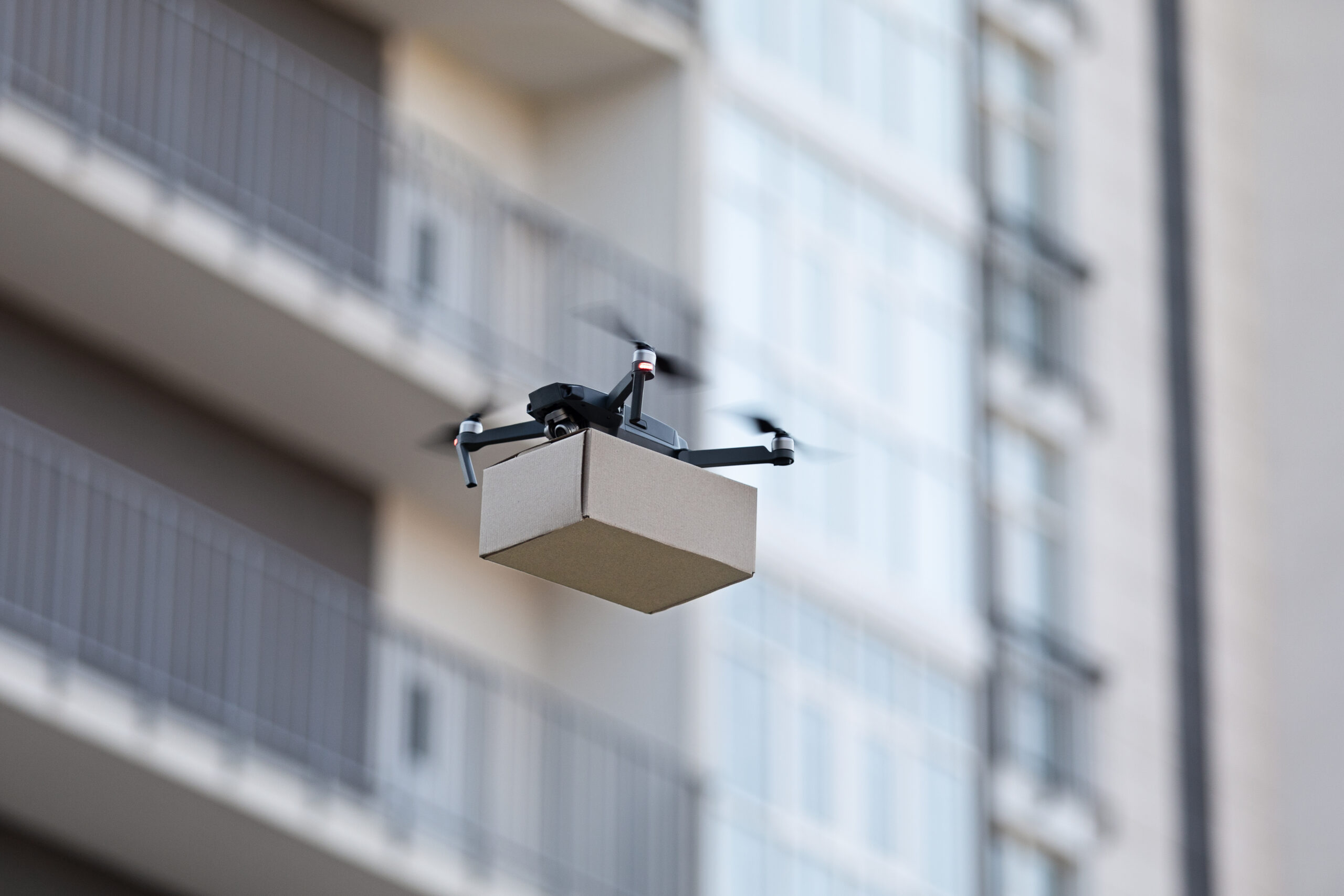
A drone in flight carrying a brown package flying in front of a city building.

We Want to Develop a Drone Facility

UAS use cases, drone facility planning, land use, infrastructure, emergency preparedness, operations governance, and FAA/local role clarity.
Learn more
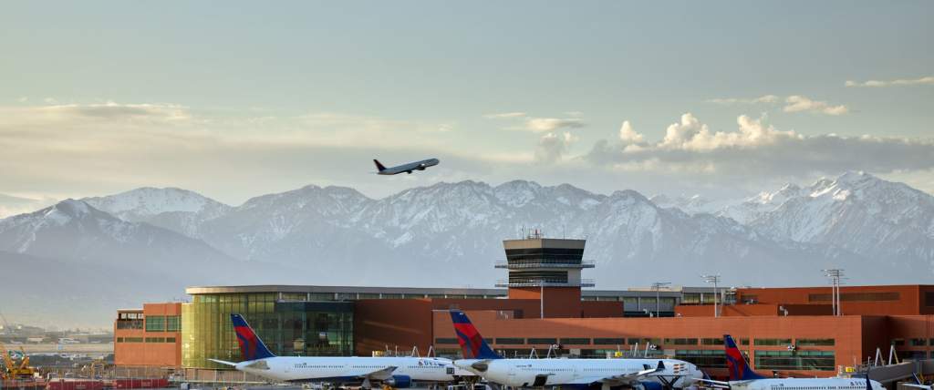
A plane on takeoff above Salt Lake International Airport with a foggy mountainscape in the background.

We Want to Develop an Airport

Airport planning, infrastructure, compatibility, FAA/UDOT coordination, land use, environmental review, emergency preparedness, and resource directory materials.

Learn more
The city of St. George, Utah at dusk, with the red rock mountains in the background. There are historic buildings and a roundabout in the center.

We Want to Develop a Vertiport

Vertiport infrastructure, FAA coordination, land use/zoning, ordinance framework, site design, utilities, emergency access, compatibility, and public engagement.

Learn more

Implementation Roadmap

Your Advanced Air Mobility journey — step by step

New to advanced air mobility planning? Follow the guided roadmap below through each phase of adoption. Select any phase to explore tools, checklists, and resources tailored to where you are.

Phase 1 — Understanding AAM

Learn the fundamentals of Advanced Air Mobility (AAM), including eVTOL aircraft, drones, air taxis, and emerging use cases that could transform transportation and logistics. 

Phase 2 — Assessing Readiness

Evaluate your community’s current infrastructure, policies, stakeholders, and public awareness to determine its readiness for AAM planning and deployment.


Phase 3 — Roles & Responsibility Alignment

Bring together key partners, align local efforts with state initiatives, and identify policy updates needed to support future AAM operations.


Phase 4 — Planning & Site Development

Identify potential vertiport locations, assess policy and regulatory considerations, engage stakeholders, and develop plans that align AAM infrastructure with local transportation and infrastructure strategies.

Phase 5 — Policy & Community Frameworks

Explore ordinances, land use and zoning, noise and environmental planning, public safety, and emergency preparedness, to guide integration aligned with local priorities.


Phase 6 — Implementation

Prepare for the transition from planning to deployment by exploring funding opportunities, partnership models, infrastructure development, and operational considerations.